17 Free Printable Maps
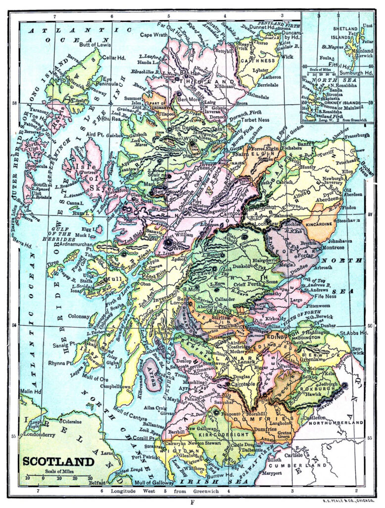
Today we have a grand collection of Printable Maps! Included are a great set of Atlas Prints of the Western and Eastern Hemispheres done as High-Resolution Printables for you. They are so colorful and would brighten any room. We have several old Maps of France that you will adore. The faded colors are stunning. You will also find individual maps of Scotland, Ireland, Africa, Rome, the U.S., and more. I think the Printable images would be perfect to use in decoupage or transfer projects. These would look great framed too.
Colorful Printable Atlas Maps
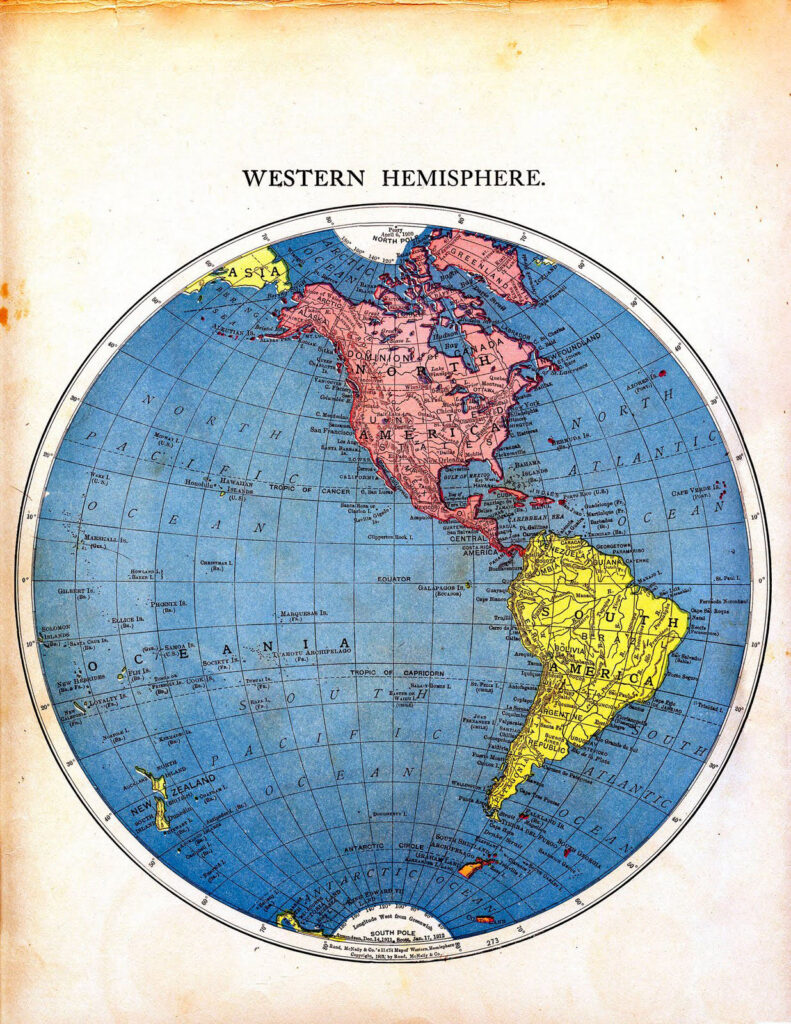
Here we have a wonderful Western Hemisphere illustration. This fabulous map of the world, done in a Globe shape, is from an antique Atlas! I have included a high-res Printable of the whole page, including the age spots and all. I should actually say it’s half of the world. See the other half below!
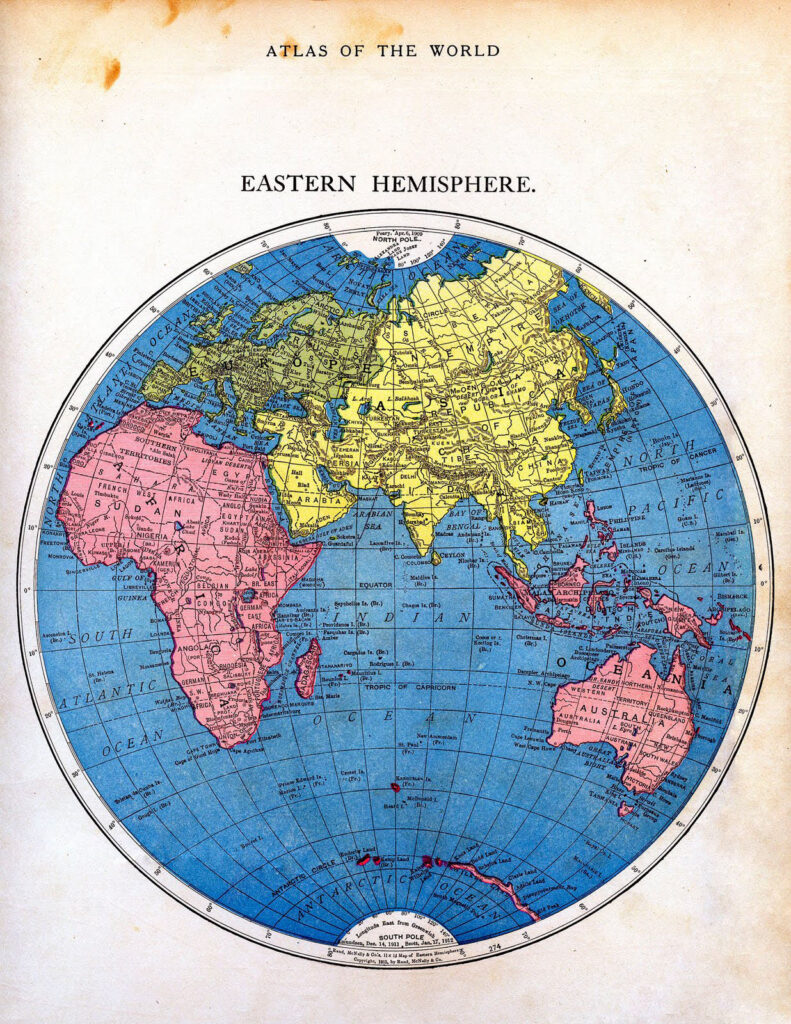
Above is a beautiful illustration of the Eastern Hemisphere. It is the second part of the Map of the World to match the one just above it. I can’t help but think of Japan, and the people there, when looking at this.
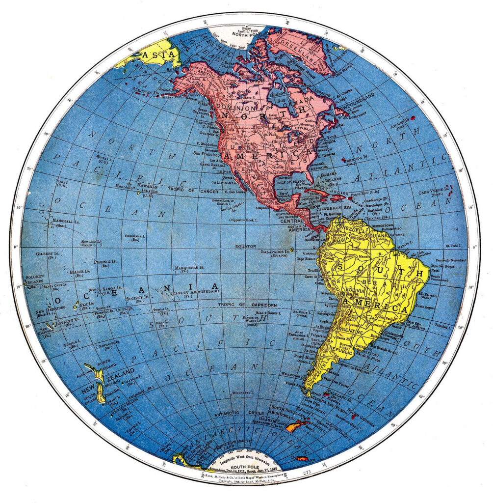 This is a wonderful version of the Western Hemisphere illustration. I love how the longitude and latitude lines make the roundness of the globe just pop off the page.
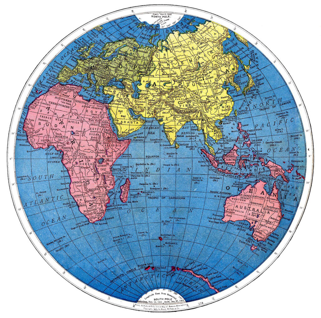 This is a lovely a version of the Eastern Hemisphere illustration. The pink, yellow, and blue colors are just so bright and beautiful on this one.
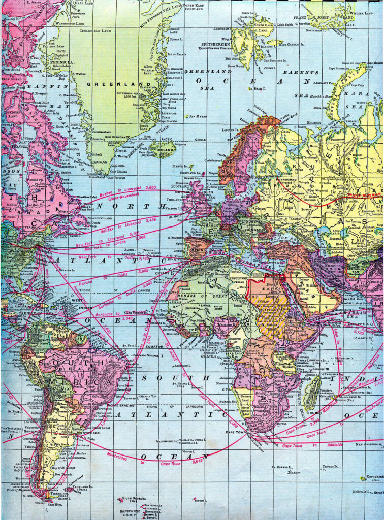
Click HERE for the full Size Printable PDF of the Vintage World Map
Old Maps of France
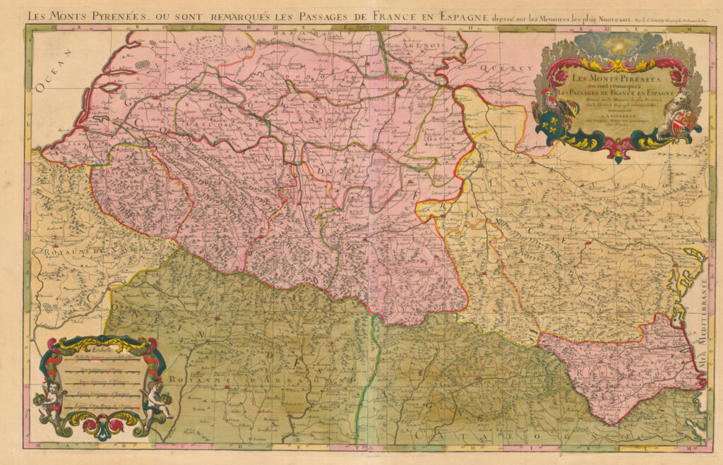
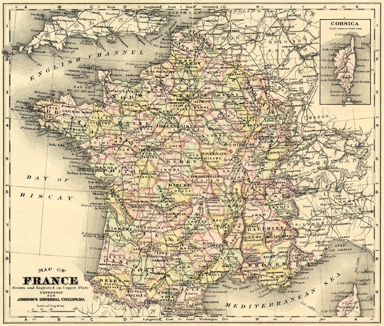
 This gorgeous French map is so fabulous, I had to pass it along. Can you believe it’s pink as well?!! How fun! As a bonus, I reworked the little darling cherub distance marker at the bottom of the map. I created a fun label for you to use. I hope you like these beautiful and very early pieces! Make sure you click on the map to see the superb detail of the illustration!
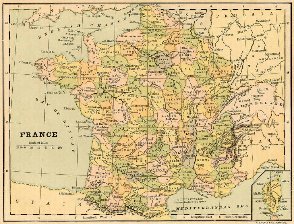
This is an elegant old Map of France! I love the soft pastel coloring of this illustration. There seems to be an overabundance of lines in this one, but it gives it a nice texture and rhythm, I think!
Above we have a lovely, aged Map of France. The paper of this image has yellowed to a beautiful patina. The soft pastel hues are just yummy.
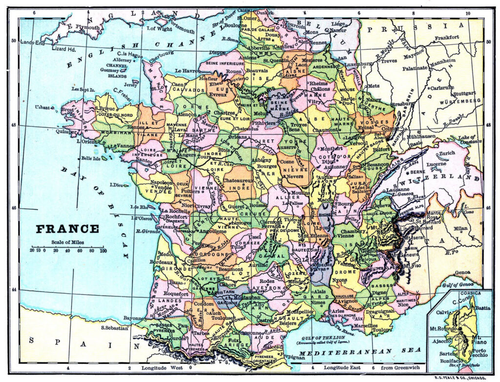
Click HERE for the Full Size Printable PDF of the 1880’s France Map
Here is a Map from an 1880’s book! It is a bright and colorful Map of France! It is so sharp and clean that it is hard to believe it’s from a 19th Century book.
Vintage Printable Maps
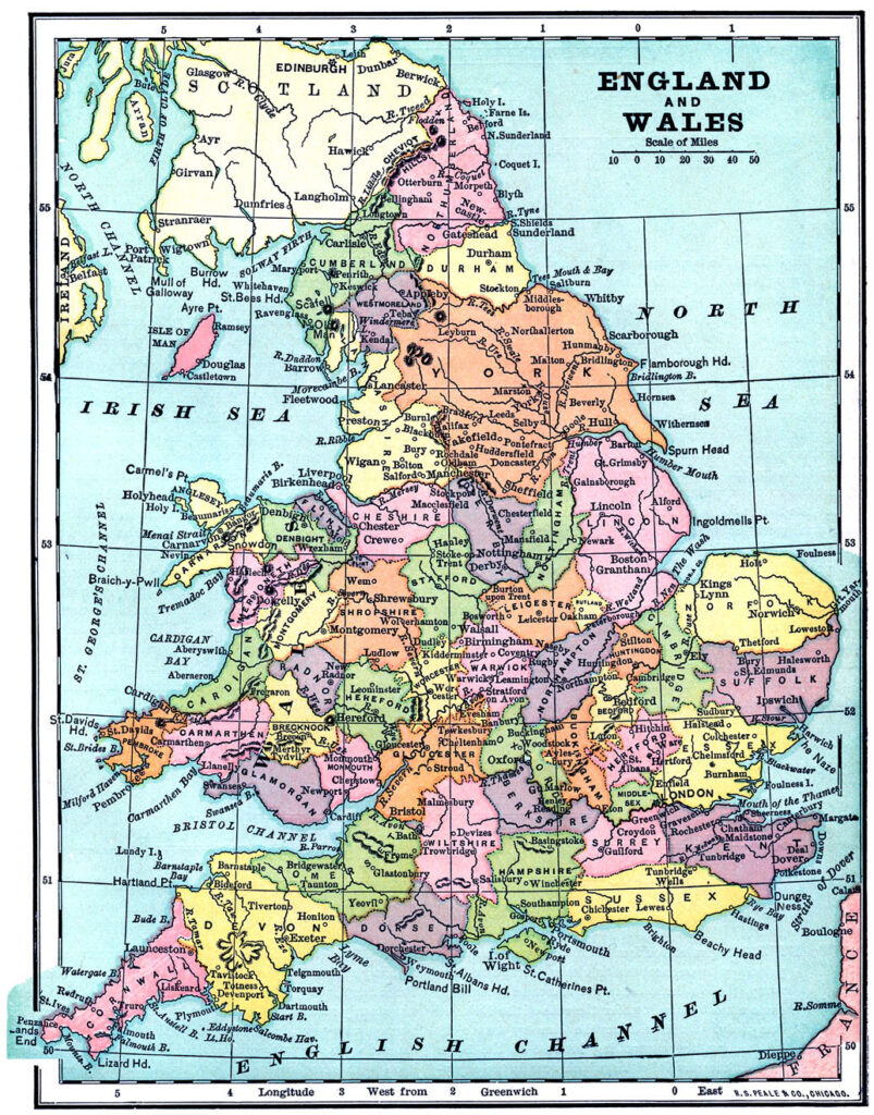
Click HERE for the Full Size Printable PDF of the England and Wales Map
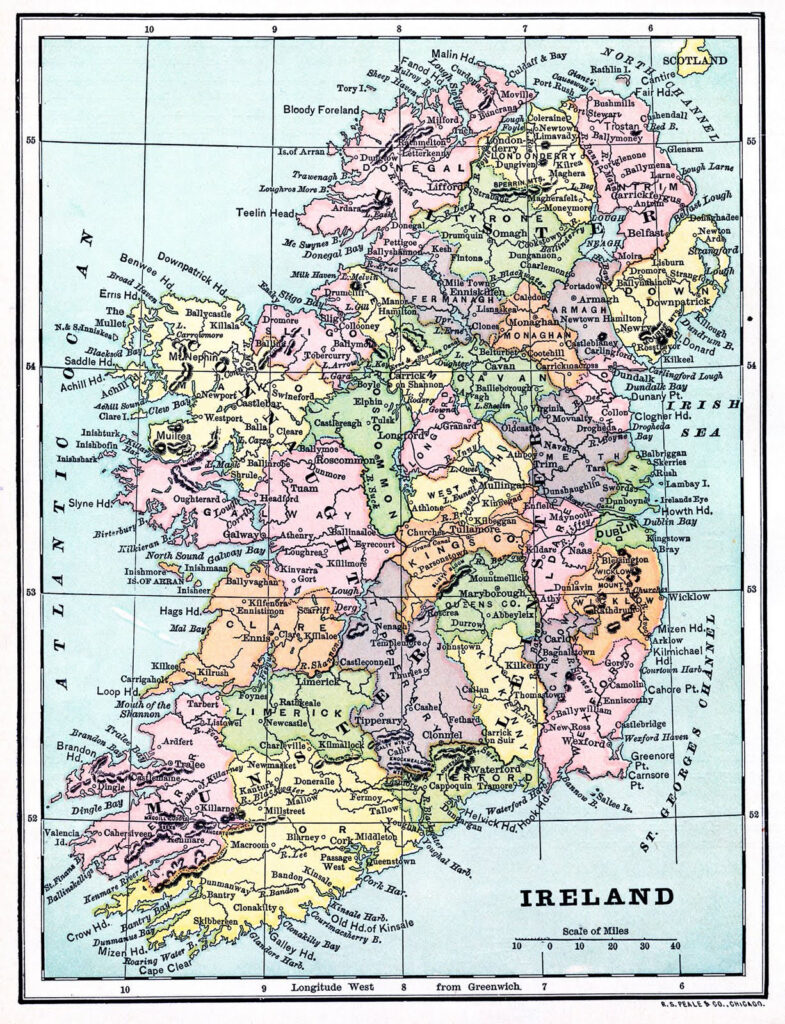
Click HERE for the Full Size Printable PDF of the Ireland Map
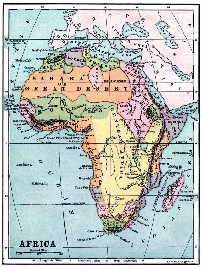
Click HERE for the Full Size Printable PDF of the Africa Map
This is another Vintage Map from an 1880’s book. It is a Map of Africa! I am drawn to the Sahara Great Desert area and how there are so many countries gathered at the perimeter of the continent.
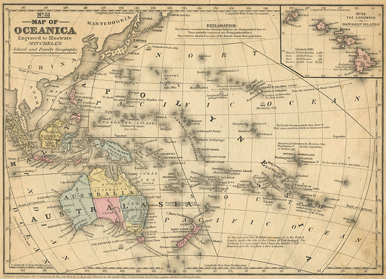
Click HERE for the Full Size Printable of the Oceanica Map
Here is the latest addition to this collection. Here we have a map that is labeled “Oceanica”. As you can see it includes Australia, Japan and more. Such lovely soft colors on this one!
Vintage United States Map
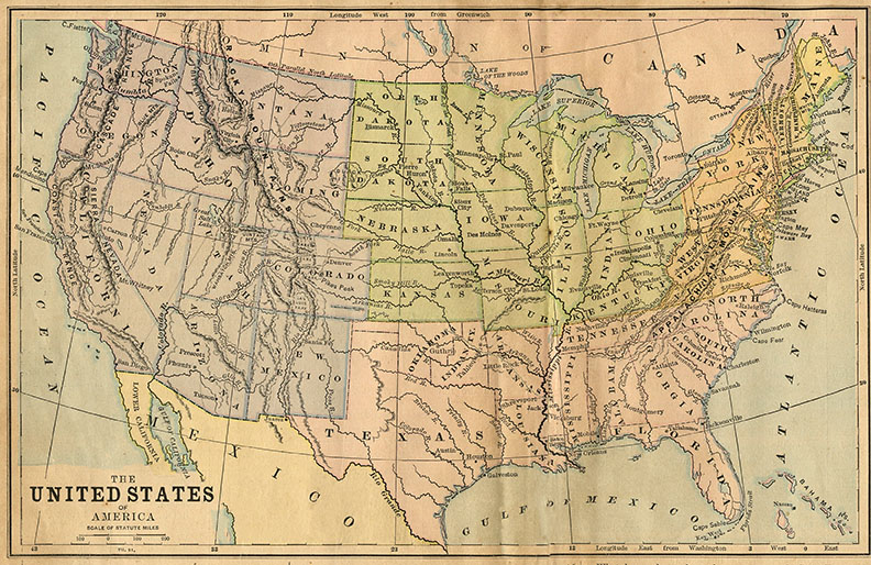 Click HERE for the Full Size Printable PDF of the U.S. Map
I’ve finally scanned a U.S. Map! This one was scanned from an Antique Children’s Geography book.
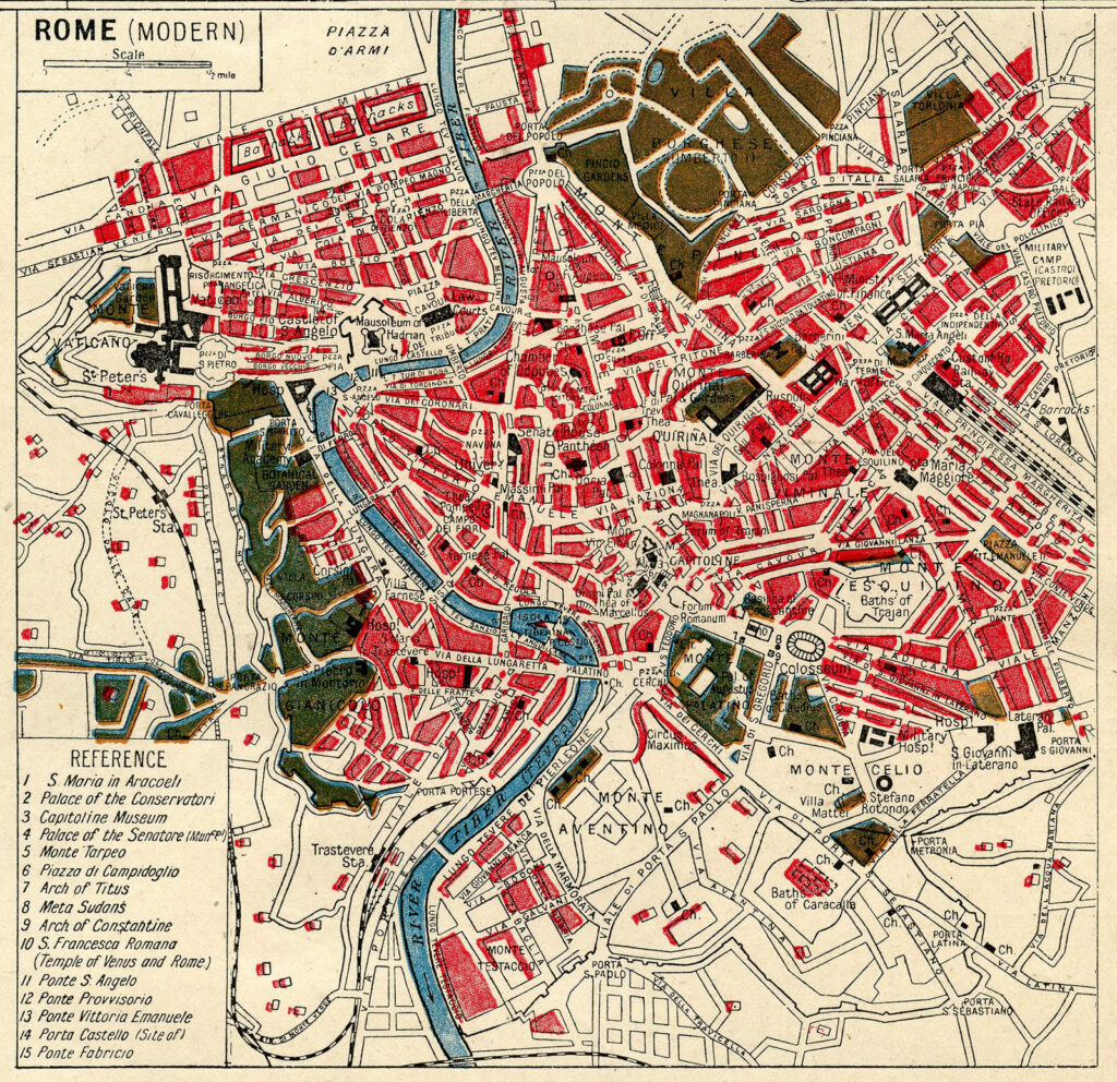
Antique Map of Rome
Pictured above is a wonderful map of Rome from an old Atlas! I love the deep red and blue colors in this map!! The creamy background of it is just perfection. I’ve enlarged it and provided a full size printable!
I hope you enjoyed this fun curated collection of Printable Maps! You might also like our Eiffel Tower Images HERE.



Angela says
Fabulous globes thank you
Karen Watson says
Thanks Angela!
Denise says
Thank you so much for these lovely maps, they have given me so many ideas for cards as well as scrapbooking pages.
It is amazing the number of interesting items that you have freely available on your site. I joined your newsletter a number of years ago and you still have items that are new to me. I love it. God bless you and your.
Karen Watson says
Thank you so much Denise! I try to add something new just about every day, so that my readers don’t get bored. I’m glad you are enjoying your time here, that is wonderful to here!
Tina S says
I love these maps! Any chance you have some for Germany? We are traveling there this summer and a map would make a perfect image for the cover of a travel journal.
Thanks
Karen Watson says
Hi Tina, I’ll put that on my list for future updates on this post. Have fun on your trip!
Rosemary Hopkins says
Did I miss the link for downloading the vintage French maps?
Karen Watson says
Hi Rosemary, If there is no link under the image that you want, then just click on the image itself and right click to save to your computer.